- Services
Aerial image data
Energy & Climate Analyses
- Industry solutions
- Technology
- Company
- References
- News
- Contact

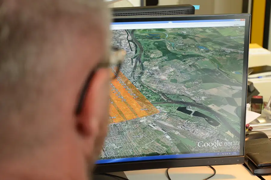
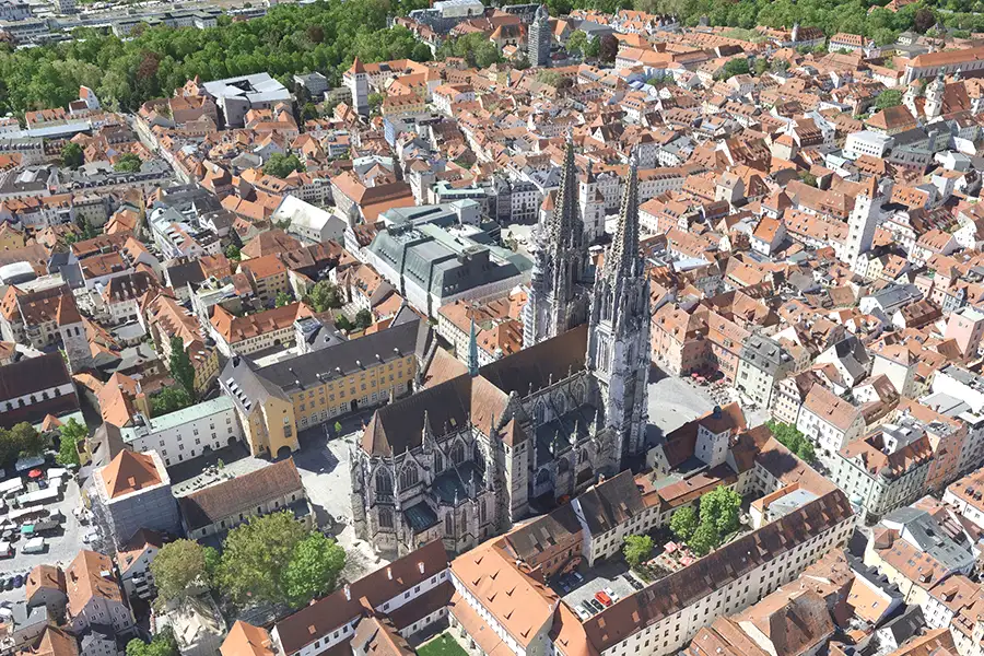
Digital aerial photography provides high-resolution aerial images as a basis for geodata. It enables precise planning, 3D analysis, and diverse applications in urban planning, the environment, and energy.
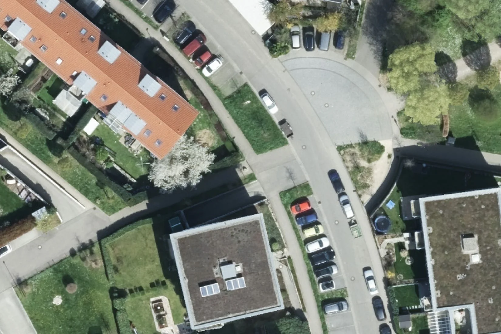
Orthophotos provide scale aerial images. True orthophotos go further: They avoid areas with no view and show buildings realistically, without distortion.
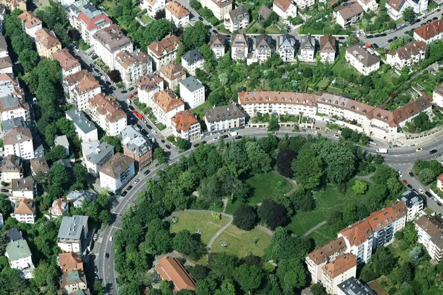
Oblique aerial photographs show cities and landscapes from a skewed perspective and convey spatial depth. They are ideally suited for planning, real estate, marketing, environmental and energy issues.
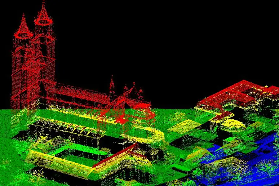
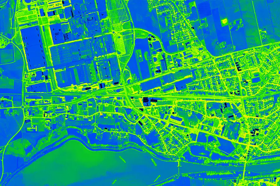
Airborne laser scanning precisely captures the Earth's surface using laser beams. This technology enables highly detailed surface models and terrain data.
3D meshes accurately depict buildings, vegetation, and terrain in three dimensions. They serve as a basis for urban planning, marketing, visibility analyses, and virtual city models.
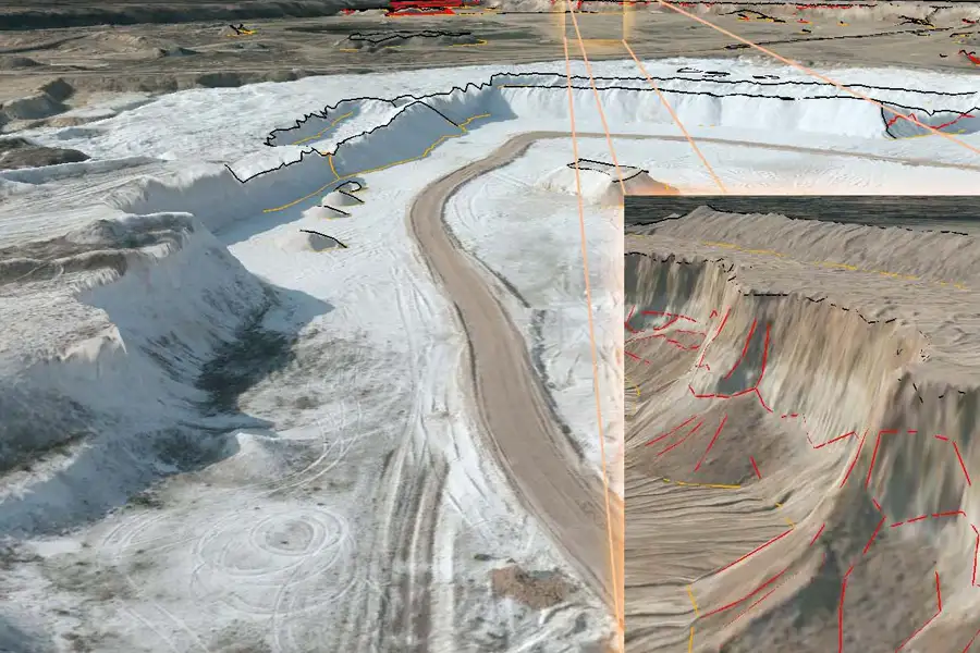
Aerial surveys in open-pit and underground mining provide precise terrain data without interrupting production. They enable rapid analysis, 3D models, and the documentation of changes.
Thermographic aerial surveys allow for the precise and comprehensive recording of energy conditions – from detecting heat loss in buildings to analyzing entire infrastructures.
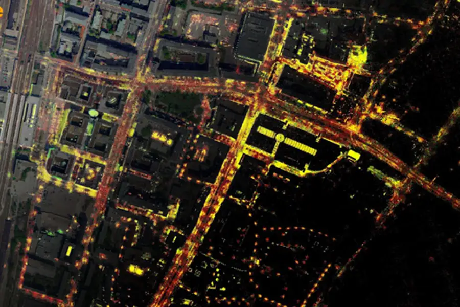
Lighting registers comprehensively record all lighting systems and show where streets and paths are under- or over-lit – as a basis for efficient planning.
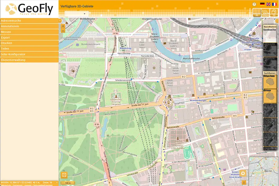
ObViewSly, GeoFly's in-house browser-based oblique and 3D viewer, is your first choice when it comes to visualizing 3D worlds and incorporating oblique images.
We provide precise geodata for secure networks, efficient maintenance and the expansion of renewable energies.

Precise geodata for geodesy, climate models and urban research – the basis for valid analyses and new insights.

From construction projects to neighborhood planning: Our geodata creates transparency, minimizes risks and secures investments.

We support the planning, maintenance and modernization of your transport infrastructure with orthophotos, LiDAR and monitoring.

geofly © All rights reserved.