
- Services
Aerial image data
Energy & Climate Analyses
- Industry solutions
- Technology
- Company
- References
- News
- Contact
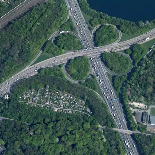
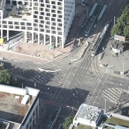
Infrastructure and transport face growing challenges: Complex transport networks and major construction sites demand up-to-date 3D mapping, dynamic monitoring, and seamless data integration. GeoFly delivers tailored geo-services for route planning, construction site management, and intelligent traffic control – for smooth operations and future-proof mobility concepts.
Unpredictable traffic jams and capacity bottlenecks make proactive traffic planning difficult.
Major projects and infrastructure measures often lead to massive disruptions in ongoing traffic.

E-mobility, sharing services and public transport are difficult to integrate into existing networks.

Environmental and safety regulations increase the pressure and require a reliable data basis.
Whether it's traffic flow, construction sites, or new forms of mobility: with high-resolution geodata and intelligent monitoring, we create transparency where uncertainty otherwise prevails. This makes bottlenecks predictable, requirements achievable, and processes run smoothly – the foundation for safe infrastructure and future-proof transport networks.
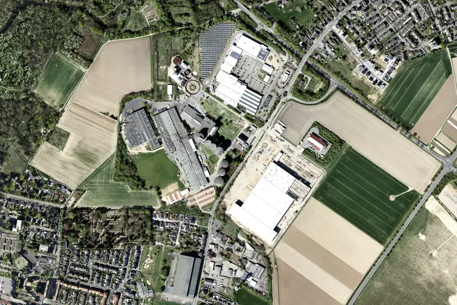
High-resolution and up-to-date aerial images provide a detailed, reliable basis for precise planning, documentation and progress monitoring of transport projects.

Realistic visualizations enable a sound analysis, facilitate communication with stakeholders and promote acceptance among citizens through transparent presentations.
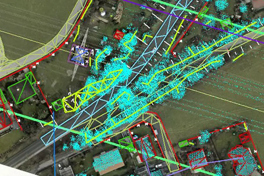
Regular airborne flights detect deformations and changes in vegetation – for timely damage detection and environmental monitoring.
Accurate elevation and structural models provide essential foundations for route planning, terrain analysis and soil investigations, thus reliably supporting complex infrastructure projects.

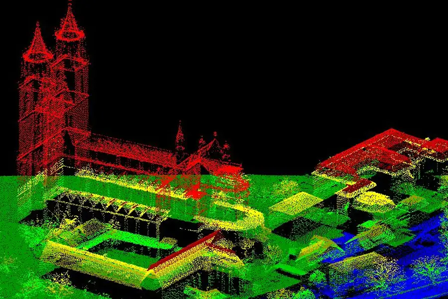
This is us: GeoFly. Since 2008, we have been surveying the Earth's surface – in over 20 countries across four continents. We are an interdisciplinary team of engineers, pilots, and data experts. Together, we plan, fly, and process the entire workflow – from flight planning and execution to data delivery. Our experience ranges from large-scale surveys for national mapping programs to pinpoint projects in highly complex infrastructure areas. We navigate expertly through diverse geographical, climatic, and regulatory conditions – with both a holistic perspective and meticulous attention to detail. Our own fleet of aircraft is more than just technology: it's our tool for maximum independence, ultimate flexibility, and uncompromising quality – anytime, anywhere. Whether cities, networks, landscapes, or buildings: we fly, plan, capture, and process data – for data that makes a difference. We make the invisible visible.
geofly © All rights reserved.
