
- Services
Aerial image data
Energy & Climate Analyses
- Industry solutions
- Technology
- Company
- References
- News
- Contact
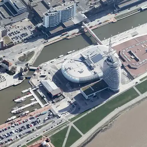
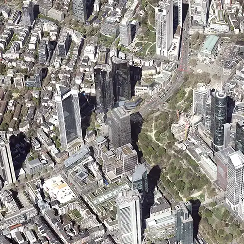
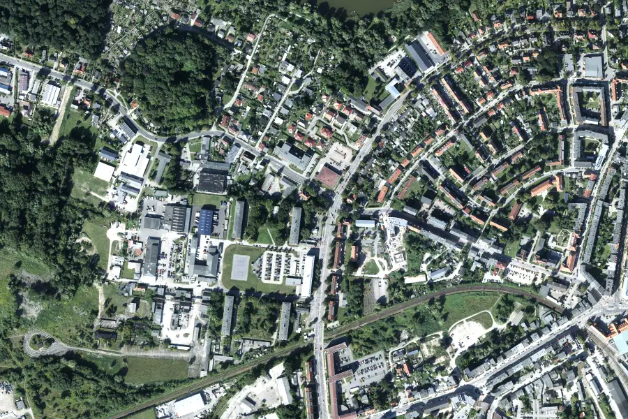
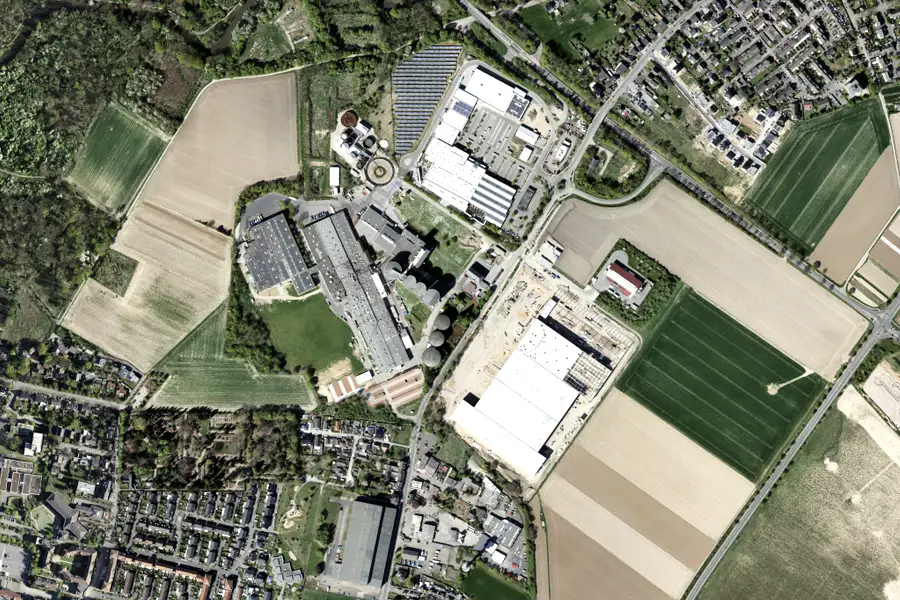
Real estate projects need more than just good locations. They need reliable geodata for sound site analyses, risk assessments, and compelling visualizations – both internally and for investors, authorities, and the public. GeoFly delivers precise aerial images, 3D models, and thermography for transparent and informed decision-making
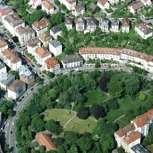
Growing cities and limited space make forward-looking, data-driven urban development difficult.
Climate targets, ESG reporting and sustainability are mandatory – also for existing real estate portfolios.
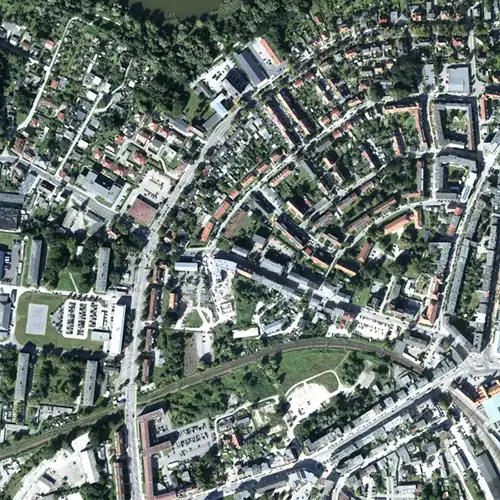
Complex projects such as conversion or neighborhood development require precise geodata for the analysis of existing conditions and potential.
Increasing housing pressure, rent developments and social mixing exacerbate conflicting objectives in urban planning.
Urbanization, ESG regulations, and land scarcity are increasing the pressure on cities and real estate projects. At the same time, planners, investors, and authorities must make decisions that are sustainable, transparent, and future-proof. With up-to-date geodata, we create clarity about existing conditions, potential, and risks – from site assessment to densification. In this way, uncertainty becomes planning certainty, and complex processes become a reliable path to sustainable urban development.
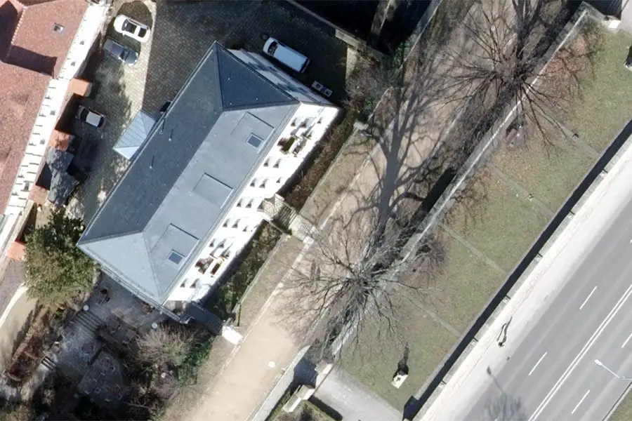
Detailed, scale image data are the basis for development plans, land development and real estate valuations.
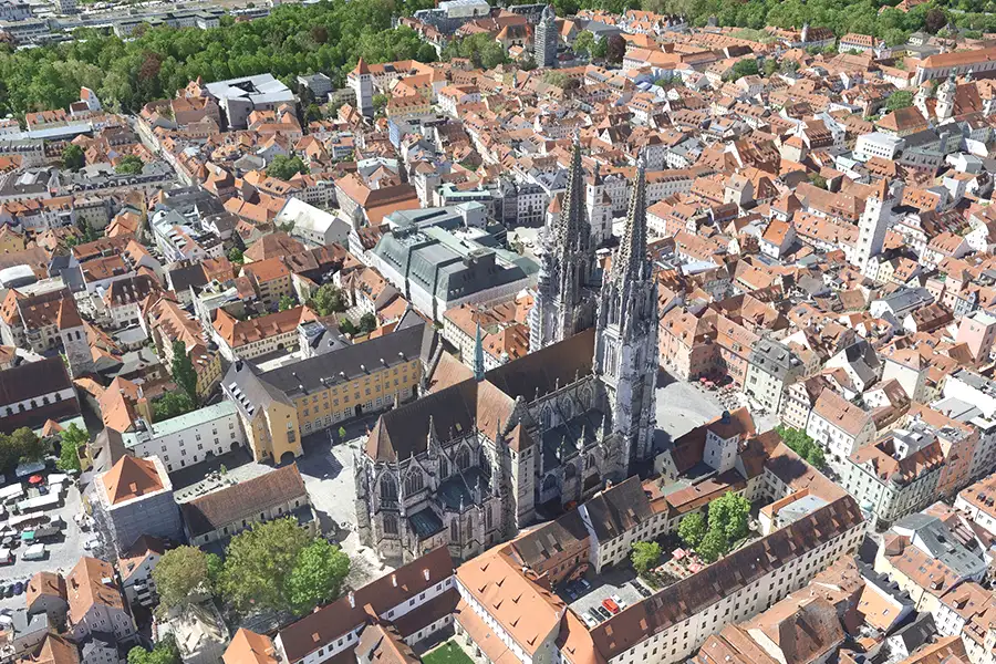
Building and neighborhood models enable virtual tours, volume studies, and stakeholder communication in early planning phases.
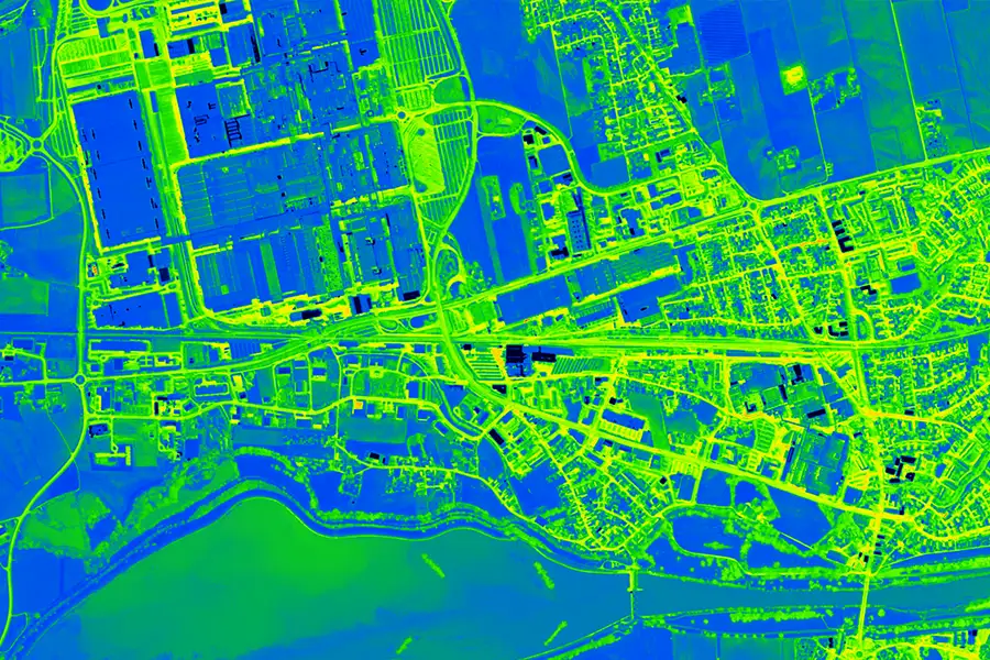
Identification of energy losses and urban heat islands for the targeted promotion of sustainable neighborhood development and energy efficiency.
Accurate elevation models help in assessing development potential, shading analyses, and infrastructure connections.
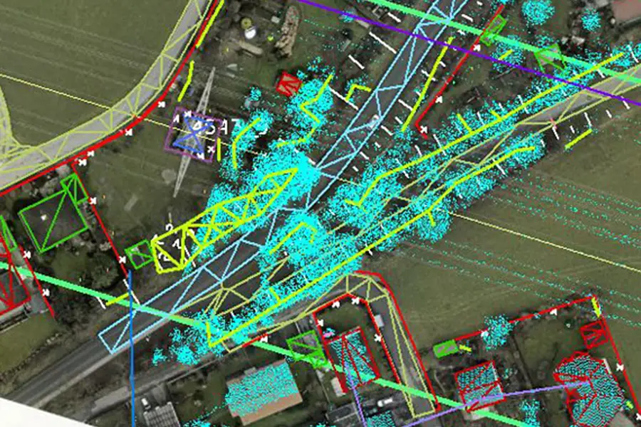
Detailed terrain models provide the basis for hydraulic simulations, construction projects and environmental analyses in urban areas for future-proof projects.
Automatic import into IFC, CityGML and GIS platforms creates seamless planning workflows – from design to construction documentation.

This is us: GeoFly. Since 2008, we have been surveying the Earth's surface – in over 20 countries across four continents. We are an interdisciplinary team of engineers, pilots, and data experts. Together, we plan, fly, and process the entire workflow – from flight planning and execution to data delivery. Our experience ranges from large-scale surveys for national mapping programs to pinpoint projects in highly complex infrastructure areas. We navigate expertly through diverse geographical, climatic, and regulatory conditions – with both a holistic perspective and meticulous attention to detail. Our own fleet of aircraft is more than just technology: it's our tool for maximum independence, ultimate flexibility, and uncompromising quality – anytime, anywhere. Whether cities, networks, landscapes, or buildings: we fly, plan, capture, and process data – for data that makes a difference. We make the invisible visible.
geofly © All rights reserved.
