
- Services
Aerial image data
Energy & Climate Analyses
- Industry solutions
- Technology
- Company
- References
- News
- Contact
GeoFly delivers highly precise geodata for smart cities, enabling forward-looking planning and clear decision-making. Our aerial imagery lays the foundation for the city of tomorrow – sound, visual, and easy to understand.
Limited budgets require sound data to effectively manage investments.
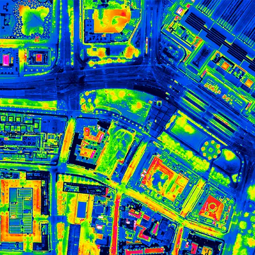
Cities need to identify urban heat islands and develop sustainable concepts to remain resilient.
A lack of visualizations makes dialogue more difficult and weakens the acceptance of projects.
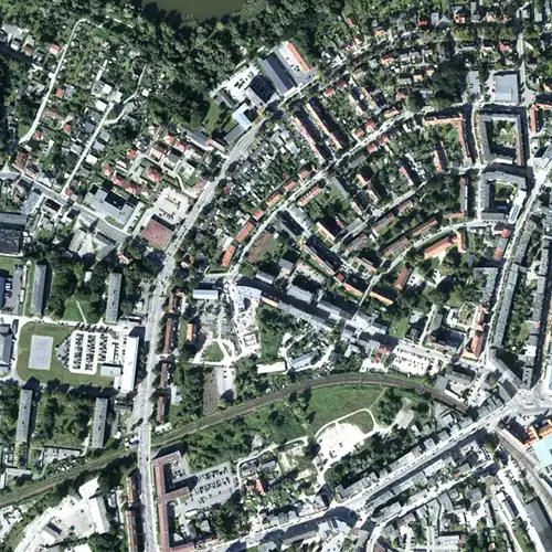
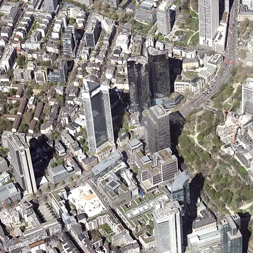
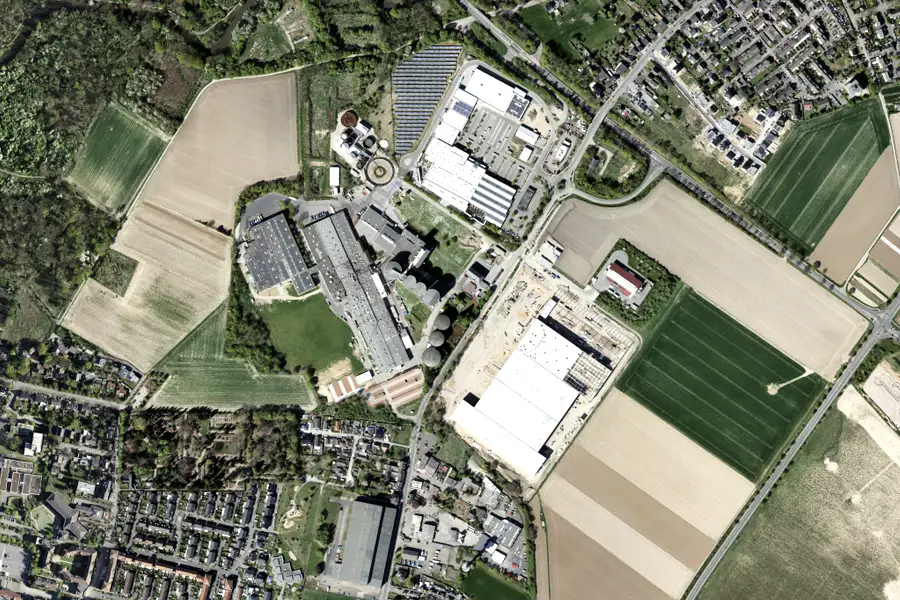
High-resolution orthophotos and 3D models create up-to-date map data. They support urban planning, building permit applications, and GIS systems with precise data.
Cities and municipalities are under immense pressure: tight budgets, climate change, and increasing demands for transparency and participation. At the same time, they must provide evidence of grant funding and reliably meet permitting requirements. With high-resolution geodata, we create a solid foundation for decision-making – for forward-looking urban planning, effective climate strategies, and greater trust in citizen dialogue.
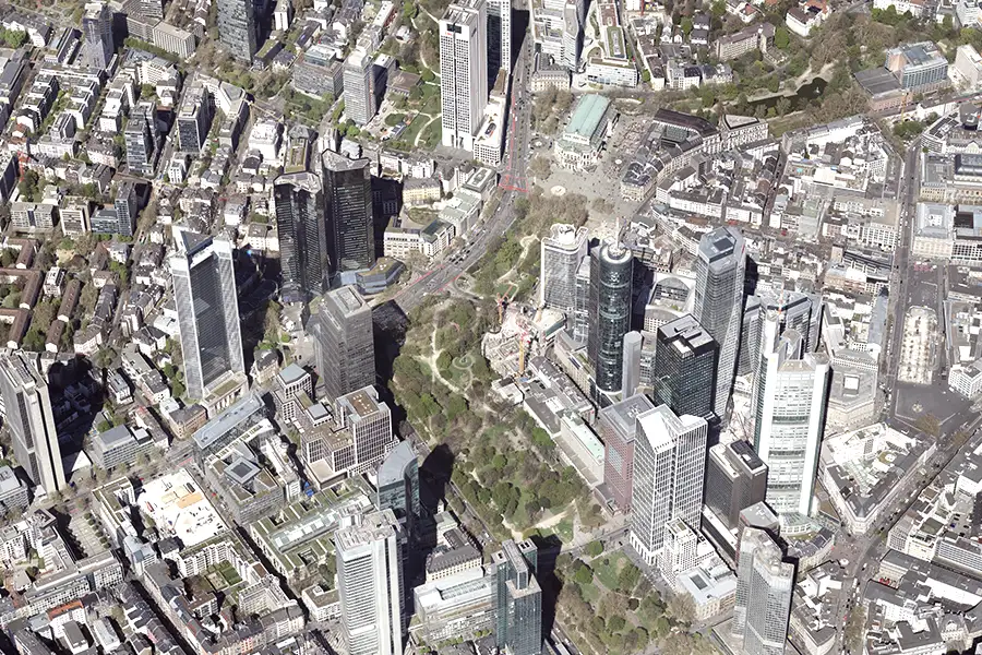
True-to-scale orthophotos and oblique aerial photographs provide a complete picture of the local conditions – for robust foundations in planning, documentation and public dialogue.
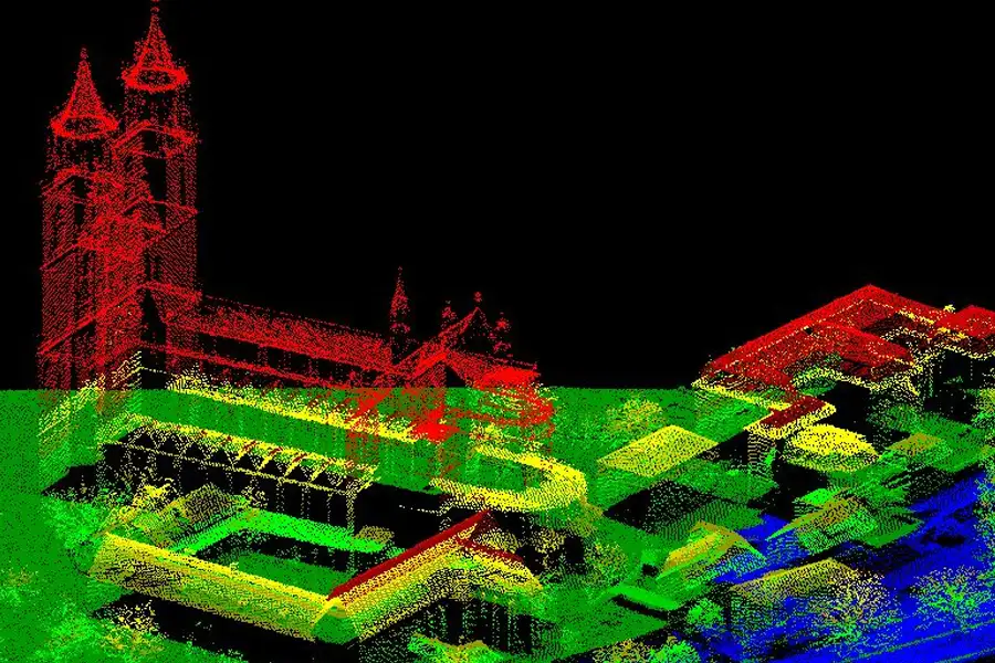
Interactive 3D twins enable virtual tours, development scenarios and targeted coordination with authorities and citizens – for well-founded decisions and acceptance.
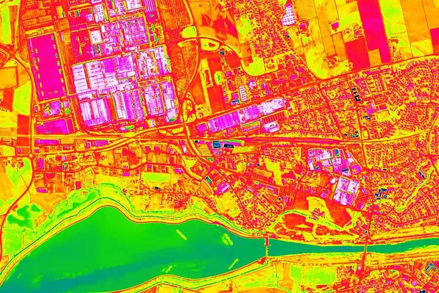
Infrared aerial surveys reveal urban heat islands and heat losses – a basis for targeted renovation, green space planning and climate adaptation measures.
LiDAR point clouds and digital elevation models capture terrain and vegetation structures – ideal for infrastructure planning, rainwater and environmental monitoring.
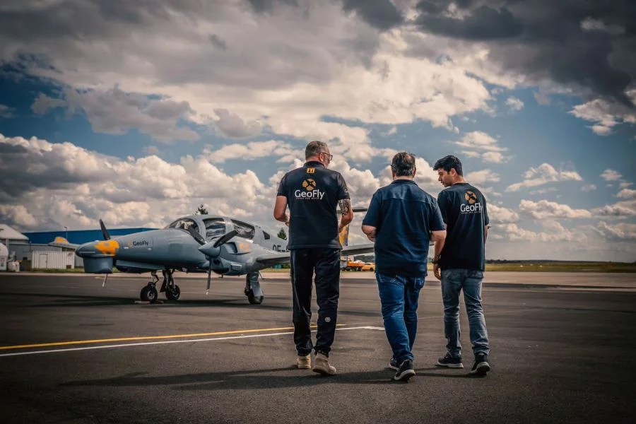
This is us: GeoFly. Since 2008, we have been surveying the Earth's surface – in over 20 countries across four continents. We are an interdisciplinary team of engineers, pilots, and data experts. Together, we plan, fly, and process the entire workflow – from flight planning and execution to data delivery. Our experience ranges from large-scale surveys for national mapping programs to pinpoint projects in highly complex infrastructure areas. We navigate expertly through diverse geographical, climatic, and regulatory conditions – with both a holistic perspective and meticulous attention to detail. Our own fleet of aircraft is more than just technology: it's our tool for maximum independence, ultimate flexibility, and uncompromising quality – anytime, anywhere. Whether cities, networks, landscapes, or buildings: we fly, plan, capture, and process data – for data that makes a difference. We make the invisible visible.
geofly © All rights reserved.
