
- Services
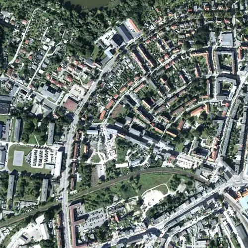
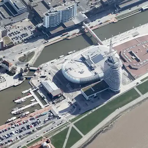
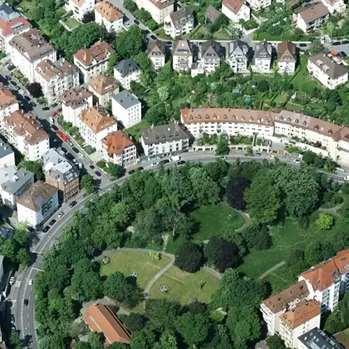
Aerial image data
Energy & Climate Analyses
- Industry solutions
- Technology
- Company
- References
- News
- Contact
Extreme weather events such as floods, storms or landslides are increasing – precise maps are lacking to quickly and reliably assess affected areas.
After disasters, reliable data is often lacking to clearly assess the damage. This delays the regulatory process and creates uncertainty for those affected.
Without up-to-date situational awareness, rescue operations risk being inefficient – resources are allocated incorrectly, and valuable time is lost.

Risk landscapes are constantly changing. Without regular monitoring, new dangers remain undetected and protection concepts become outdated.
Whether it's flooding, storms, or building damage: GeoFly provides transparency with high-resolution geodata when every minute counts. We deliver maps for risk analysis, real-time situational awareness for emergency services, and precise damage documentation for insurance companies. This makes risks manageable, coordinates operations efficiently, and clearly regulates claims – the foundation for effective protection and reliable decisions.
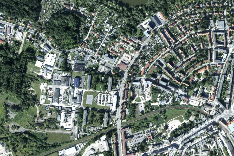
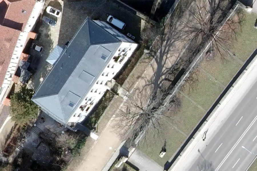
Aerial photographs capture damage and environmental impacts in detail – the basis for risk analyses.

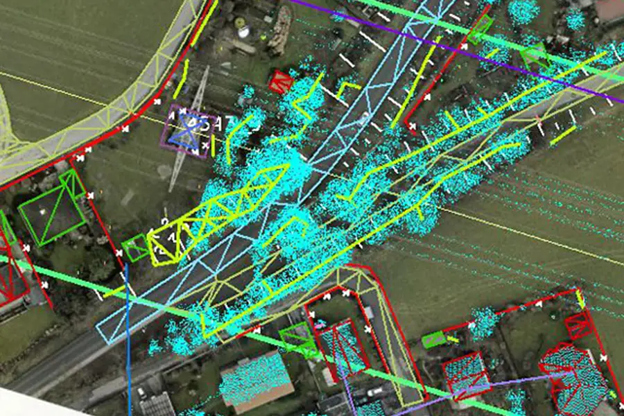
Interactive city and deployment twin models enable real-time testing of evacuation and emergency scenarios.
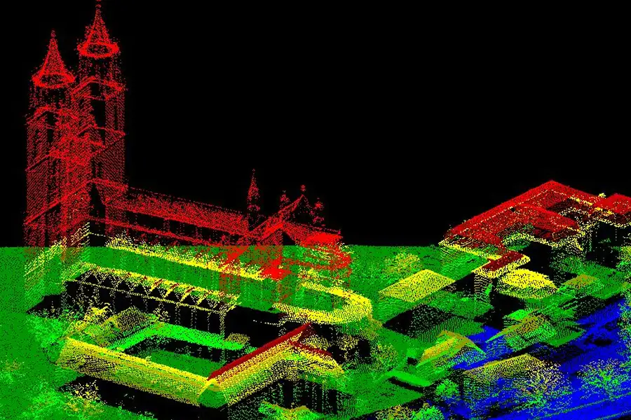
Centimeter-accurate point clouds, in combination with highly accurate true orthophotos, reveal terrain changes and infrastructure damage – ideal for flood models.
Basis for risk assessments in the event of flooding – for targeted protective measures.
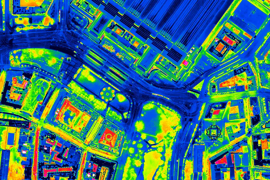
Infrared and spectral data detect hotspots, waterlogging and vegetation stress – a basis for preventive measures and insured protection.
Regular aerial surveys reveal changes in terrain and damage – for proactive hazard management.

This is us: GeoFly. Since 2008, we have been surveying the Earth's surface – in over 20 countries across four continents. We are an interdisciplinary team of engineers, pilots, and data experts. Together, we plan, fly, and process the entire workflow – from flight planning and execution to data delivery. Our experience ranges from large-scale surveys for national mapping programs to pinpoint projects in highly complex infrastructure areas. We navigate expertly through diverse geographical, climatic, and regulatory conditions – with both a holistic perspective and meticulous attention to detail. Our own fleet of aircraft is more than just technology: it's our tool for maximum independence, ultimate flexibility, and uncompromising quality – anytime, anywhere. Whether cities, networks, landscapes, or buildings: we fly, plan, capture, and process data – for data that makes a difference. We make the invisible visible.
geofly © All rights reserved.
