
- Services
Aerial image data
Energy & Climate Analyses
- Industry solutions
- Technology
- Company
- References
- News
- Contact
In research, every detail counts. GeoFly delivers highly precise, reliable geodata that underpins scientific models and analyses. Our flexible data solutions integrate seamlessly with GIS, analytics, and research platforms, supporting interdisciplinary projects and enabling high-quality results – for progress that truly matters.
Research questions are becoming increasingly complex and require precise data as a stable basis.
Different disciplines bring diverse data requirements – integration is often a hurdle.
Traceability and comparability of the results are essential, but are often lacking due to an unclear data basis.
Time-critical studies fail when current, sound data is not available.
Increasing complexity, interdisciplinary approaches, and high quality standards characterize research. Funding bodies demand traceability, projects need up-to-date data, and results must be consistent. With highly precise geodata and standardized formats, GeoFly provides a robust foundation for analyses, models, and publications. This creates transparency, comparability, and scientific excellence—today and for future studies.
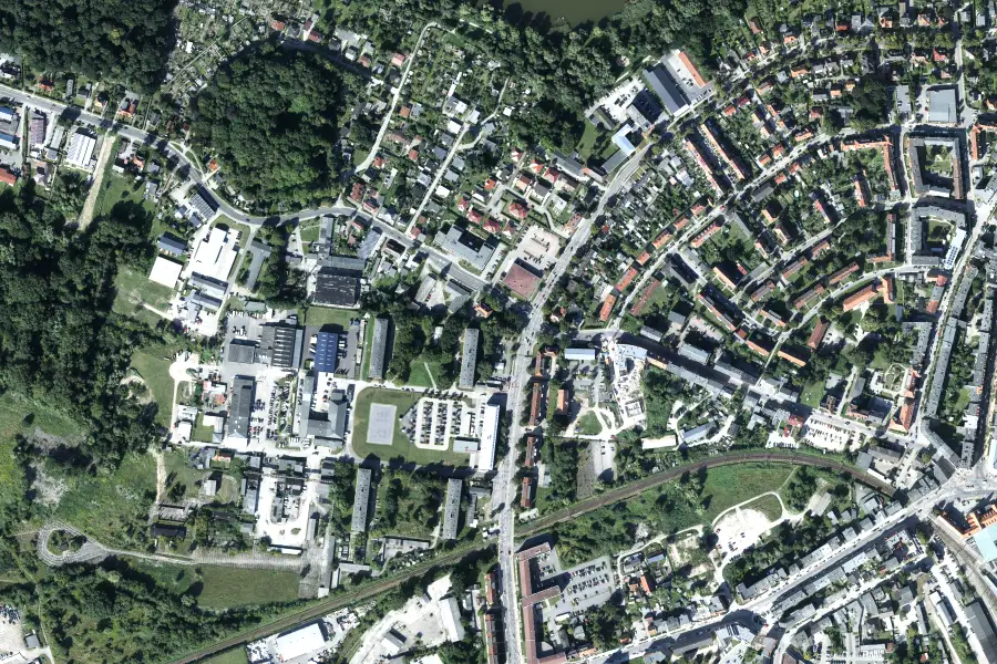
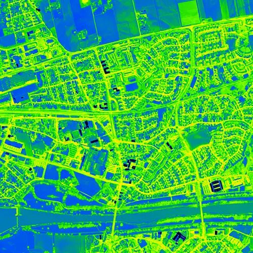
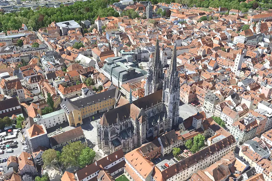
Current high-resolution aerial images provide detailed data for site analyses, habitat mapping, and the complete documentation of your research areas.
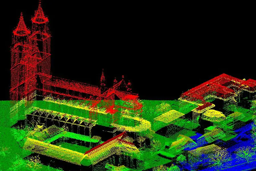
Digitally generated 3D twins enable interactive simulations, credible visualizations, and accelerate interdisciplinary research processes.
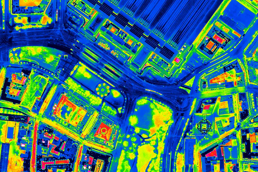
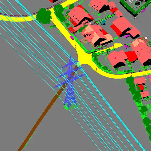
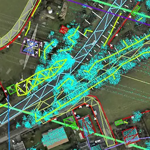
Dense LiDAR point clouds, combined with infrared images, capture vegetation patterns and terrain structures in detail – ideal for trend and change analyses over time.
Continuous monitoring of research areas allows for the timely identification of environmental changes that are crucial for studies and long-term observations.
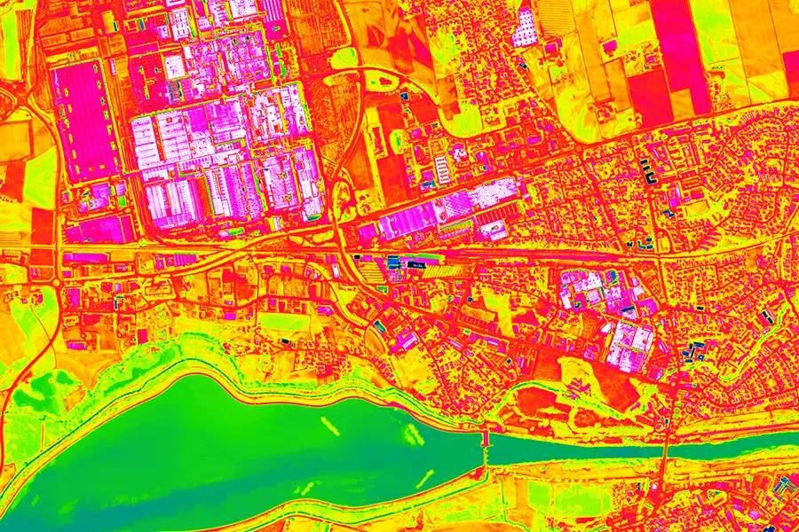
Analysis of vegetation condition, water quality and thermal effects to support ecological research and sustainable resource use.

Geo-data pipelines connect research data repositories, OGC services and analysis tools – for seamless interoperability and maximum reusability.
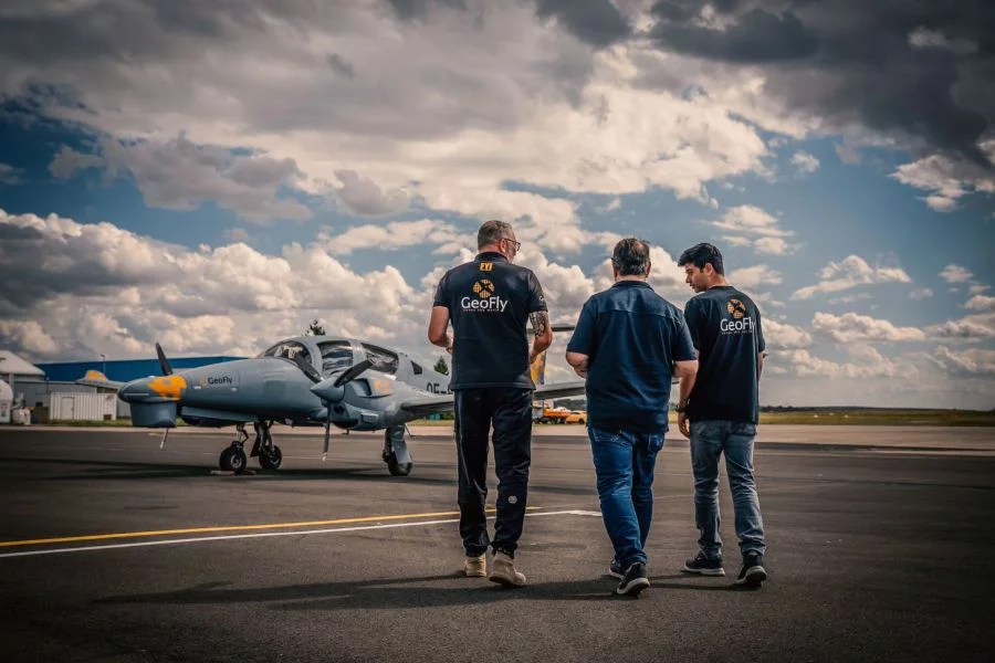
This is us: GeoFly. Since 2008, we have been surveying the Earth's surface – in over 20 countries across four continents. We are an interdisciplinary team of engineers, pilots, and data experts. Together, we plan, fly, and process the entire workflow – from flight planning and execution to data delivery. Our experience ranges from large-scale surveys for national mapping programs to pinpoint projects in highly complex infrastructure areas. We navigate expertly through diverse geographical, climatic, and regulatory conditions – with both a holistic perspective and meticulous attention to detail. Our own fleet of aircraft is more than just technology: it's our tool for maximum independence, ultimate flexibility, and uncompromising quality – anytime, anywhere. Whether cities, networks, landscapes, or buildings: we fly, plan, capture, and process data – for data that makes a difference. We make the invisible visible.
geofly © All rights reserved.
