
- Services
Aerial image data
Energy & Climate Analyses
- Industry solutions
- Technology
- Company
- References
- News
- Contact
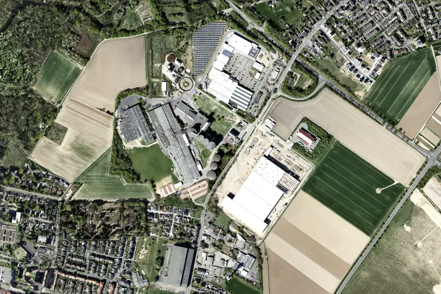
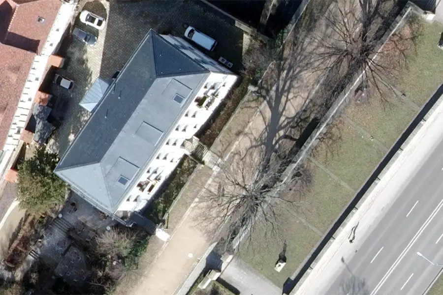
In agriculture, forestry, and environmental protection, a holistic view and understanding spatial relationships are crucial. With our airborne camera systems and laser scanners, we capture your large-scale areas of interest – from mapping Natura 2000 sites to damage monitoring. This allows you to optimize management strategies, protect habitats, and ensure seamless compliance with funding requirements.
Sensitive natural and cultural landscapes are increasingly coming under pressure due to extreme weather conditions and intensive use.
Precise data on biodiversity, soil and land use are often lacking for resource-efficient use.
Programs and subsidies require up-to-date, reliable geodata for complete verification.
Erosion, water balance and vegetation changes can hardly be reliably recorded without continuous observation.
Climate change, intensive land use, and complex funding requirements pose enormous challenges for agriculture, forestry, and environmental protection. With up-to-date geodata, we create transparency regarding biodiversity, land use, and ecological changes. This allows risks to be identified early, funding approvals to be secured, and sustainable strategies for management and protected areas to be developed.
True-to-scale RGBI orthophotos cover vegetation types, watercourses and soil moisture across the entire area – for large-scale area and quality mapping.
Accurate height and volume measurements provide important foundations for terrain assessment, erosion rate calculations, hydrology models and FFH mapping.
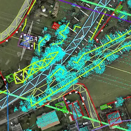
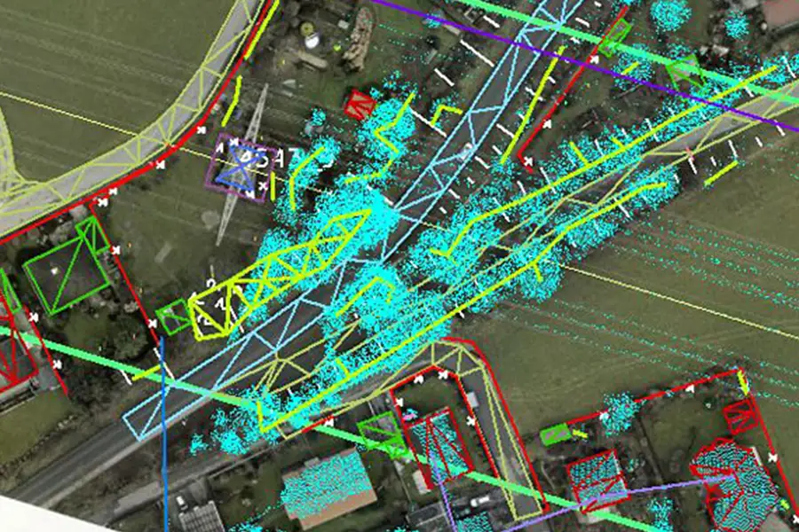
LiDAR scans generate dense point clouds for determining tree height, volume and crown density as well as undergrowth recording – the basis for comprehensive ecological analyses.
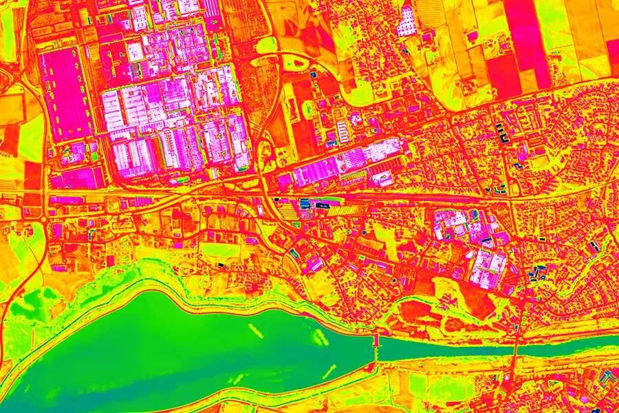
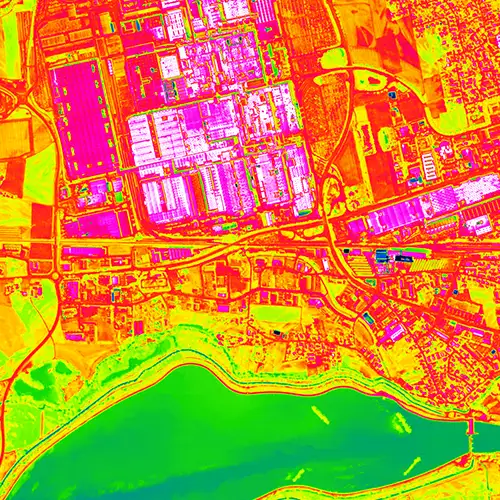
Infrared aerial surveys measure the radiant temperatures of surfaces, combined with climate station data to precisely map wet and dry stress zones.
Regular airborne intervals enable time-series analyses of vegetation density and water levels – for sound long-term studies and funding evidence.

Standardized WMS/WFS services and IFC/CityGML exports integrate our data directly into GIS, CAD and BIM applications – for seamless workflows.
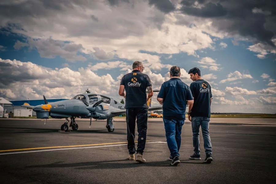
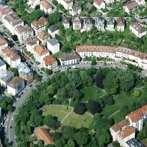
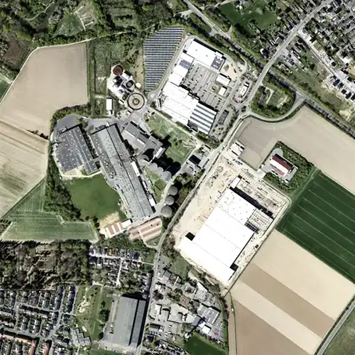
This is us: GeoFly. Since 2008, we have been surveying the Earth's surface – in over 20 countries across four continents. We are an interdisciplinary team of engineers, pilots, and data experts. Together, we plan, fly, and process the entire workflow – from flight planning and execution to data delivery. Our experience ranges from large-scale surveys for national mapping programs to pinpoint projects in highly complex infrastructure areas. We navigate expertly through diverse geographical, climatic, and regulatory conditions – with both a holistic perspective and meticulous attention to detail. Our own fleet of aircraft is more than just technology: it's our tool for maximum independence, ultimate flexibility, and uncompromising quality – anytime, anywhere. Whether cities, networks, landscapes, or buildings: we fly, plan, capture, and process data – for data that makes a difference. We make the invisible visible.
geofly © All rights reserved.
