
- Services
Aerial image data
Energy & Climate Analyses
- Industry solutions
- Technology
- Company
- References
- News
- Contact
Industrial and energy companies face the challenge of operating complex plants and networks safely and efficiently – under increasing pressure from digitalization, environmental regulations, and the transition to renewable energies. Reliable geodata is key to precise planning and sustainable decision-making.
Manual inspections provide little transparency regarding corrosion, leaks, and structural changes.
Integrating wind, solar and storage plants into existing grids remains a planning challenge
Unplanned downtime and inefficient maintenance cycles drive up operating costs
Environmental and safety regulations increase the pressure – reliable geodata is becoming a mandatory requirement.
Whether it's corrosion, heat loss, or route planning: with state-of-the-art sensors and our own fleet of aircraft, we uncover invisible risks and opportunities. In this way, we transform uncertainty into clarity – and provide you with the basis for well-founded, future-proof decisions.
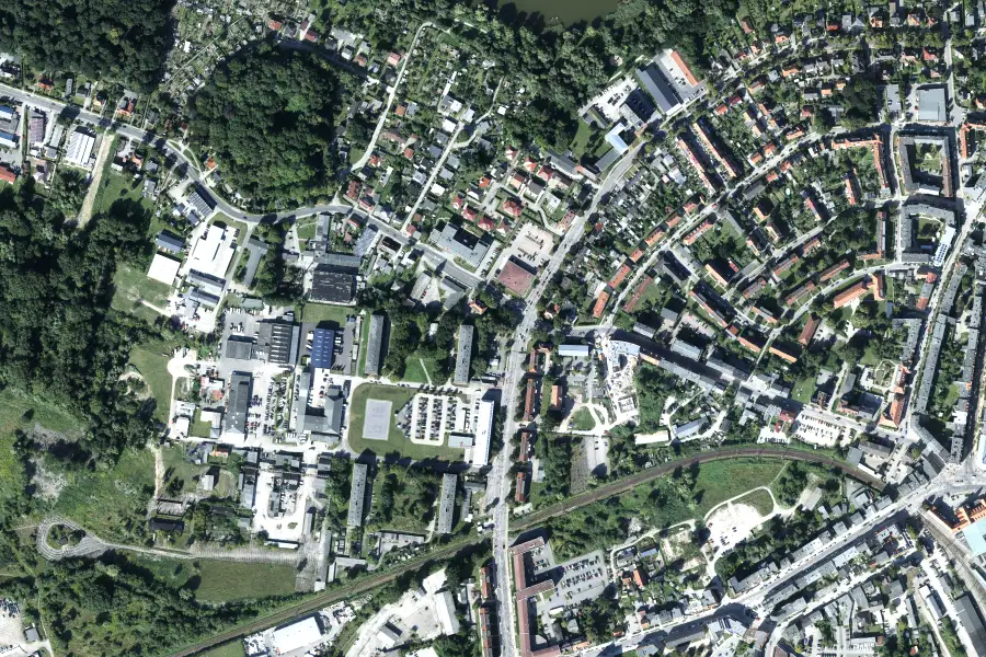
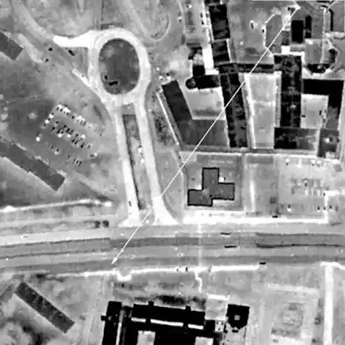
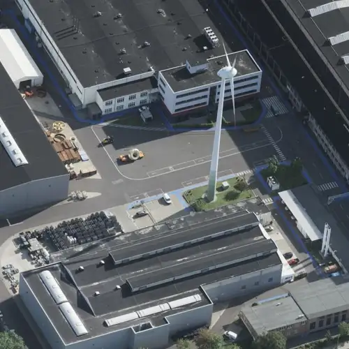
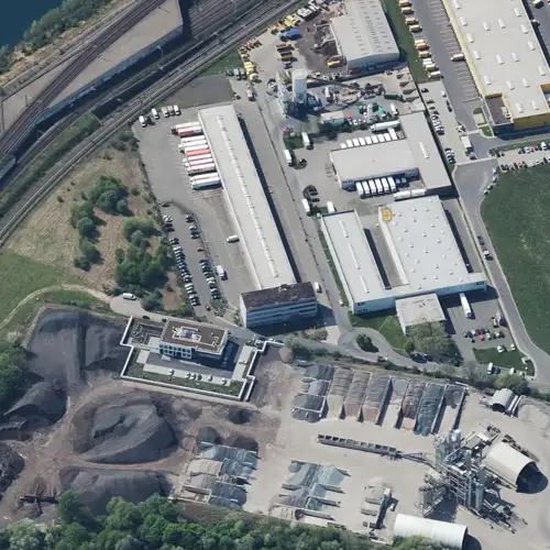
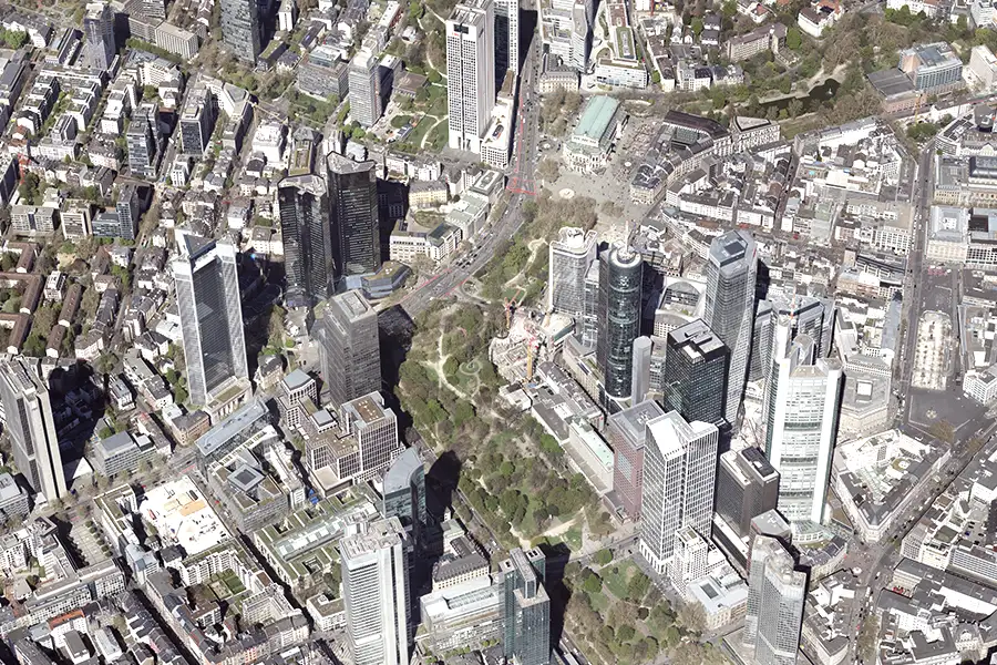
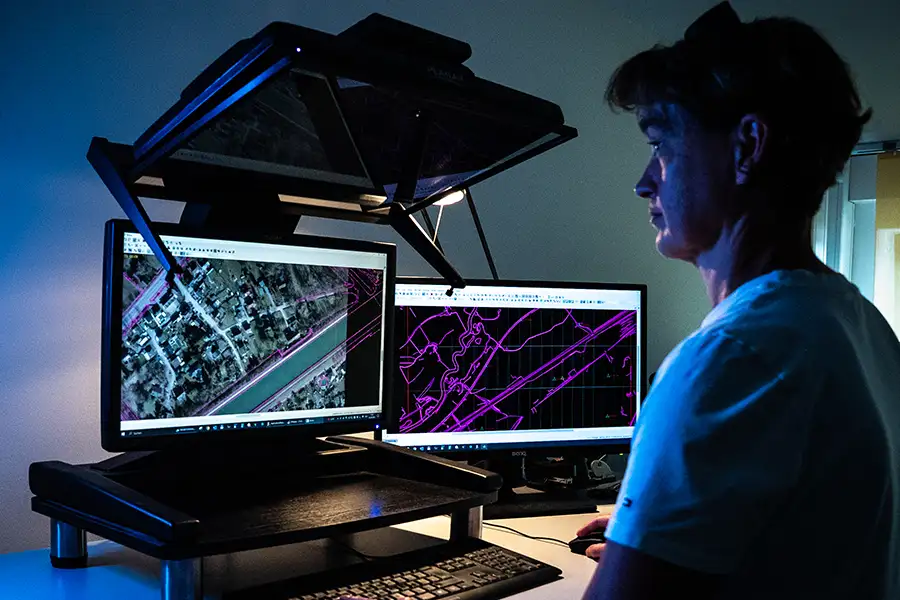
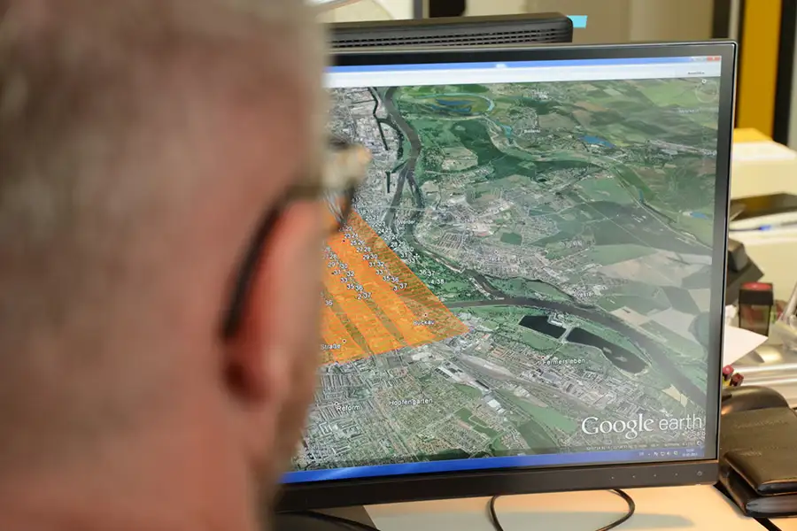
True-to-scale orthophotos and oblique aerial images provide complete coverage of infrastructure and terrain – for accurate inventory analyses and risk assessments.
Interactive 3D twins enable virtual tours, building structure analyses, and transparent coordination with authorities and investors.
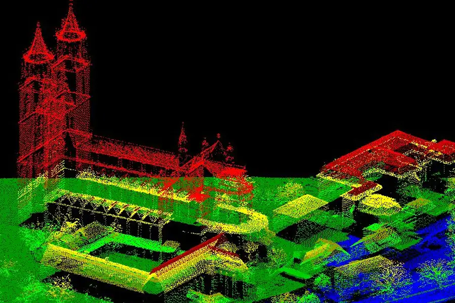
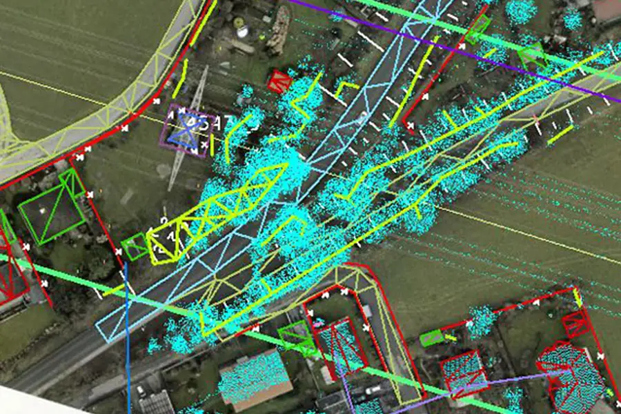
Dense LiDAR point clouds and digital elevation models capture terrain structures with millimeter accuracy – optimized for route planning, site assessments and environmental checks.
Regular airborne flights detect deformations and changes in vegetation – for timely damage detection and environmental monitoring.
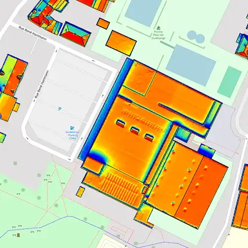
Multispectral and thermographic imaging identifies heat losses and material stress – a basis for targeted efficiency and safety measures.
Seamless API integration with GIS, CAD and BIM automates data transfers – for end-to-end workflows from aerial image analysis to planning software.
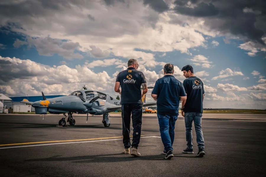
This is us: GeoFly. Since 2008, we have been surveying the Earth's surface – in over 20 countries across four continents. We are an interdisciplinary team of engineers, pilots, and data experts. Together, we plan, fly, and process the entire workflow – from flight planning and execution to data delivery. Our experience ranges from large-scale surveys for national mapping programs to pinpoint projects in highly complex infrastructure areas. We navigate expertly through diverse geographical, climatic, and regulatory conditions – with both a holistic perspective and meticulous attention to detail. Our own fleet of aircraft is more than just technology: it's our tool for maximum independence, ultimate flexibility, and uncompromising quality – anytime, anywhere. Whether cities, networks, landscapes, or buildings: we fly, plan, capture, and process data – for data that makes a difference. We make the invisible visible.
geofly © All rights reserved.
